
Baldwin Park Street Directory by Address
An address starts the trail, but it does not point straight to a person. The Baldwin Park workflow is address → AIN and legal description → owner clue → deed chain → permitted voter access → reverse directory. The Los Angeles County Assessor Portal finds the parcel. RR/CC holds recorded documents, but its real-property index is not searchable by street online. A street directory must separate land, ownership history, and occupant evidence.
- Enter the exact address in the Assessor Portal, then save the AIN, situs, legal description, map link, and effective date.
- Open Map Search, click the target and touching parcels, and record each AIN and situs.
- Use a displayed owner clue to test the RR/CC grantor and grantee indexes, then follow earlier transfers by year.
- Use My Voter Status only for the person checking their own registration; it is not an open street roll.
- Use a reverse directory or census source for a past occupant snapshot, preserving its year and older place label.
Each stop answers a different question: land, transfer, work at an address, one voter's status, or a past household. If the goal changes to one person, the Baldwin Park resident lookup uses a separate identity-check workflow.
Baldwin Park Records by Address
A Baldwin Park street directory is strongest when each source is named for what it can prove. The assessor connects an address to a parcel; the map shows nearby land units; the RR/CC index traces parties by name and year. City files can add permits, inspections, code, engineering, and police records. Reverse directories add a historic occupant snapshot. Voter data has a separate, purpose-limited lane.
| Record Set | Search Key | Street-Level Value | Access |
|---|---|---|---|
| Assessor Portal | Address or AIN | Parcel identity, situs, characteristics, values, and displayed history | Free web portal; district-office alternative |
| Assessor parcel map | Address/AIN and map selection | Boundaries, touching parcels, AINs, and situs clues | Free map mode |
| RR/CC recorded documents | Grantor or grantee plus year | Former owners, liens, plats, reconveyances, and legal descriptions | Norwalk index; copies by mail, fax, online, or in person |
| City permits and code | Address and described records | Work dates, applicants, contractors, inspections, and enforcement files | CPRA request or department contact; exemptions apply |
| Reverse directories | Surname or street in a reverse section | Historical occupant snapshot for a particular year | Library or LAPL reference; confirm coverage |
| Voter file | Authorized file request fields | Possible street grouping for a permitted purpose | Personal status tool or regulated file request |
AIN bridges the parcel rows to the deed trail. A street name locates land, while the legal description survives subdivisions and old labels. Ownership, a permit applicant, a historic occupant, and a registered voter remain separate records.
Note: A current parcel match is an ownership and land clue, not a roster of every person tied to the address.
Baldwin Park Assessor Records by Address
The Los Angeles County Assessor Portal is the online first stop for a Baldwin Park address. Basic, Legal, and Map modes serve different tasks. Basic Search accepts an address or 10-digit AIN. The portal is free, but it is not a general owner-name search. Save its effective date because parcel values and clues can change.
| Field or Mode | Type | Required | Options and Format Notes |
|---|---|---|---|
| Search by AIN or Address | Text/autocomplete | Yes for basic lookup | Street address or 10-digit AIN |
| Basic Search | Tab | Not a separate field | Direct parcel lookup |
| Legal Search | Tab | Not a separate field | Legal-description-oriented route |
| Map Search | Tab | Not a separate field | Pan, zoom, and select mapped parcels |
Online owner and mailing fields are limited. The Assessor's East District Office, 1190 Durfee Avenue, South El Monte, lists 626-258-6001 and weekdays 8 a.m. to 5 p.m. Owner and mailing data may be available free there or through paid Property Data Sales.
A sample at 13972 Francisquito Avenue identifies parcel 8558023034, AIN 8558-023-034, and El Monte Walnut Place Lot 24. History metadata lists a 1997 sale and document 0030925, but no names or images. Confirm legacy dates in the deed.
Baldwin Park Address Clues: Situs and Mailing
Three labels can point to different parts of one trail. Situs is the parcel's physical location. Mailing is where a tax notice goes. A legal description identifies the land through a lot or tract. AIN is the county's stable parcel key. A different mailing address can suggest ownership away from the situs, but it does not prove occupancy.
Save the AIN, situs, mailing clue, and legal description together. Street names change, parcels split, and postal labels can differ from city lines. Legal descriptions connect older deeds to the modern map. A homeowners' exemption is supporting evidence only.
Key terms for a by-address search:
- Parcel
- A defined unit of land tracked by the assessor with an AIN, situs, mapped shape, and legal identity.
- Situs address
- The physical location tied to the land record, distinct from the address used for tax mail.
- Plat
- A recorded map that lays out lots, streets, and boundaries used to relate an address to land.
- Criss-cross directory
- A historical directory with a reverse section that starts with an address or street and points to an occupant entry for a particular year.
Map Baldwin Park Parcels Street by Street
Map Search adds the visual step a text result cannot. Search the address or AIN, zoom to parcel lines, select the target, and click each touching parcel. Record every AIN and situs. Use measure and select tools when a lot line is hard to read, but do not treat the map as proof of shared ownership or occupancy.
The Los Angeles County GIS-NET information page documents identify, query, buffer, draw, measure, export, and print functions.
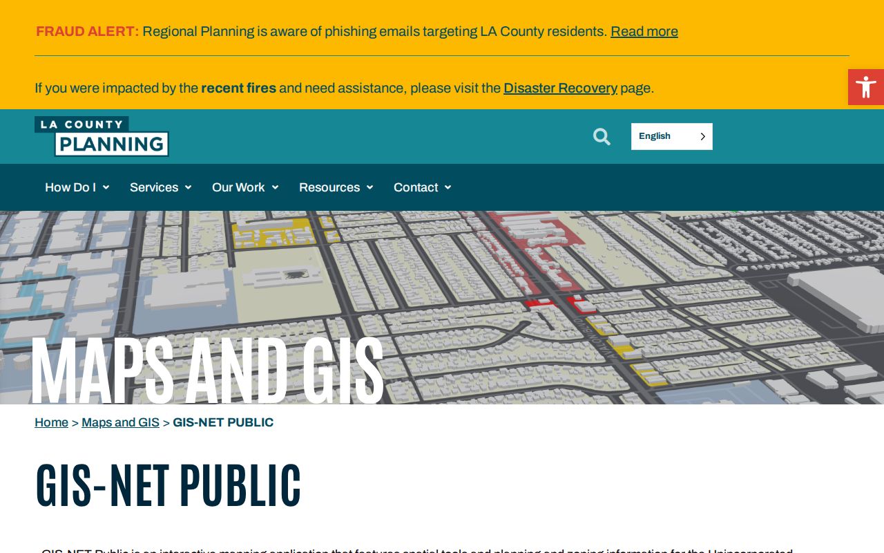
GIS-NET's documented scope is unincorporated Los Angeles County, not Baldwin Park's authoritative zoning layer. For incorporated Baldwin Park, the Assessor parcel map is the safer countywide path. GIS-NET can still clarify nearby boundary questions, including West Puente Valley.
Note: Click parcels in a fixed order and save each AIN before moving to a new block, so a later name search can be checked against land.
Baldwin Park Deeds Need Party Names
Los Angeles County property records are filed by grantor, grantee, and recording year, not by street address in an open web index. The RR/CC property-record FAQ explains why a street directory must change keys before reaching the deed index.
The recorder access page places alphabetical indexes at 12400 Imperial Highway in Norwalk. Telephone index searches are not accepted. Viewing is split between 1851-1957 on the lower level and 1958-present on the second floor.
The offline limit is a quirk of access, not a missing deed trail. A parcel search supplies the name and legal clues needed for a Norwalk visit or narrow order. The FAQ view makes the party-name rule clear.
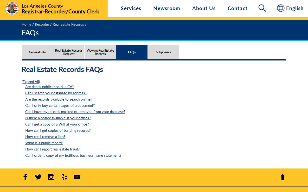
The screen reinforces the key change: search the parcel clue, not a guessed street-only query.
Copy orders can use mail, fax, online, or in-person routes. A mail request should name the document, every known party, and a recording year or range. Send a check or money order to Registrar-Recorder/County Clerk, Real Estate Records, P.O. Box 1130, Norwalk, CA 90651-1130. The county states 20 working days for mailed or online orders.
Note: Recorder holdings reach 1850/1851-present, but the oldest material still requires the county's physical index or a sufficiently specific written order.
Walk a Baldwin Park Deed Chain
When the Assessor Portal supplies an owner or vesting clue, search that party as grantee for the likely acquisition year. Record the grantor, instrument number, date, title, and legal description. Search the earlier grantor as grantee in an earlier year, repeating until the lot, tract, predecessor parcel, or legal description stops matching. Names alone fail when a parcel splits or moves through a trust.
The recorder index-access source supports the bridge from current address to older ownership. A purchased copy may show legal description, vesting, return or mailing address, signatures, and transfer-tax declarations. It does not prove occupancy.
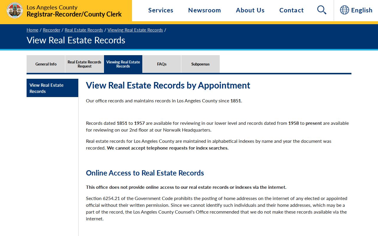
The notice is a reminder to plan the party-name search before seeking a copy. It keeps a current street directory from overstating an online parcel page.
A record inventory can include these distinct clues:
- Grantor and grantee names, with party capacity inferred from the instrument.
- Recording date or year, instrument number, and older book or page references.
- Document title, legal description, and parcel clues linking a transfer to a lot.
- Vesting, return or mailing address, signatures, and transfer-tax declarations in a purchased copy.
Copy fees are separate from the search. Notes list plain copies at $5 for the first page plus $3 each added page, certified copies at $6 plus $3 each, and name/year searches at $0.50 per name and year. A $1.75 card charge may apply. Use the RR/CC mail-request instructions for the current route.
Request Baldwin Park Permit History
City records add a different address trail. Building & Safety can hold permit cards, issued permits, plans subject to access limits, and inspection history. Planning can hold entitlements, conditions, parcel maps, and zoning material. Community Enhancement handles releasable code files; Engineering and Public Works may hold address changes, street improvements, and encroachments.
The Baldwin Park public-records page allows requests for identifiable, nonexempt city records. The portal is preferred, while the city form supports direct submission with three address lines, a description field, department choices, and email, copies, or CD delivery.
The Building & Safety page is the right starting point for the permit function behind an address-keyed request.
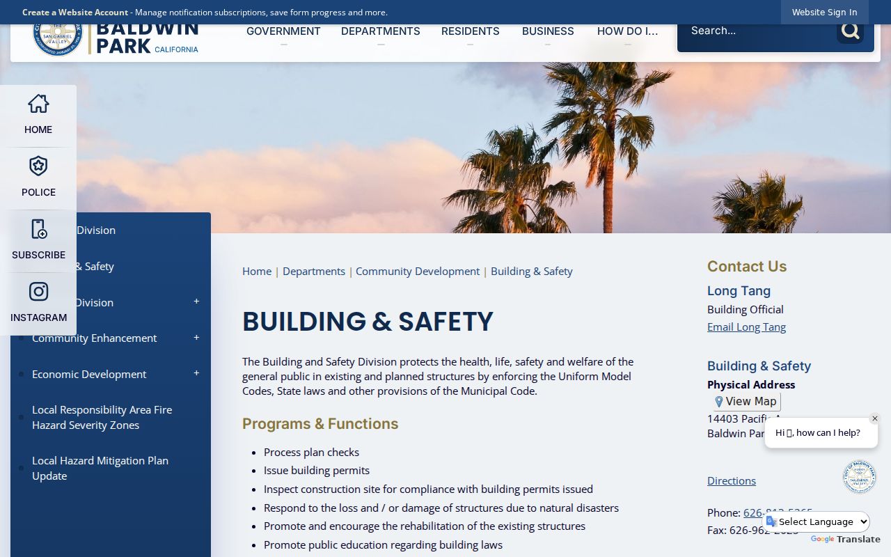
The image ties a street directory parcel clue to the city's permit route. Access limits still apply to plans, complainant details, and sensitive enforcement material.
Useful department contacts surfaced for address research include:
- Building & Safety, 626-813-5265, for permits, plans, and inspections.
- Planning, 626-813-5261, for zoning, entitlements, conditions, and parcel maps.
- Community Enhancement, 626-813-5238, for code matters and releasable cases.
- Engineering, 626-813-5255, and Public Works, 626-960-3993, for street and parcel infrastructure records.
City Hall is at 14403 E. Pacific Avenue, Baldwin Park, 626-960-4011, open Monday through Thursday 7:30 a.m. to 5:30 p.m. A CPRA determination is normally due within ten calendar days; later disclosure and the form's $0.25-per-page, $15-CD, and fax options follow.
Baldwin Park Voter Access Rules
California My Voter Status is personal verification, not a public people finder. A person checks their registration, party preference, districts, vote-by-mail status, and election information after supplying identity fields. It can self-check a street record, but cannot build an unrestricted Baldwin Park voter roll.
| Field | Type | Required | What It Does |
|---|---|---|---|
| First Name | Text | Yes | Must match the registration |
| Last Name | Text | Yes | Must match the registration |
| Date of Birth | Date | Yes | Identity check; not displayed as a public field |
| California driver license or ID last four, or SSN last four | Identity field | Conditional | Authenticates the voter under the system instructions |
| Search or Submit | Button | Not applicable | Returns the authenticated voter's status and details |
Elections Code §2194 keeps registration affidavits confidential except for specified election, governmental, scholarly, journalistic, and political uses. ID data, Social Security numbers, and signatures remain protected. Safe at Home participants receive added address protection. A street directory cannot treat a voter address as a casual neighbor list.
Authorized access follows a separate California voter-file request route with an application, use declaration, identification, and compliance. Extracts cost $146 countywide or $54 for a precinct, district, or city, plus $39 additional; name/year searches cost $5. Fees do not broaden use. Historical poll-book years were not located.
Search Older Baldwin Park Street Names
A street search can fail when a source uses an older place label. Baldwin Park ran from Pleasant View to Vineland in 1880, the Vineland School District in 1890, and the Baldwin Park name before incorporation in 1956. Search all three labels, plus La Puente and Covina headings, for older deeds, directories, census pages, or newspapers.
No official dated street-renumbering ledger or ZIP split history was located. Preserve the legal description, tract, lot, predecessor parcel, and year beside the street name. Early county land research may use rancho terms instead of a Baldwin Park series. Address to AIN is the bridge through that change.
The Baldwin Park Historical Museum & Society offers local narrative and a street-name referral, but no online catalog.
LAPL's holdings index and digitized guide support reverse searching. Listed runs are discontinuous paper issues from 1923/24 through 1958, with film for 1931, 1947, and 1949-50. Confirm the year. The Baldwin Park city directory page handles collection detail.
Note: A street label is a search term; the legal description is the cross-check when a record predates Baldwin Park's modern name.
What a Baldwin Park Street Directory Misses
A parcel record describes land and ownership clues, not every person who uses the address. A deed records a transfer, a permit may name an applicant, and a reverse directory offers a historic occupant snapshot. None is a complete household roll.
Utilities, delivery records, and DMV residence data are not public substitutes. The federal Driver's Privacy Protection Act closes DMV residence information to general browsing. A court party, license address, or business filing can show an association without proving present residence.
Ownership and occupancy can diverge. A mailing address may sit outside the situs, an exemption is only supporting evidence, and voter data is purpose-limited. Household members are underrepresented in parcel and deed systems. Label each clue by source, role, and date.
Lawful use. Baldwin Park address records support personal, lawful parcel, family, and civic research. Do not use an address trail to stalk, threaten, harass, or intimidate anyone. California law addresses stalking (§646.9), criminal threats (§422), identity theft (§530.5), and harassment restraining orders (§527.6).
Privacy Rules for Baldwin Park Records
California's Safe at Home program provides a substitute mailing address for qualifying survivors and certain reproductive-health workers or patients. The Secretary of State information is a boundary, not a puzzle. Do not infer a protected location from a parcel, voter file, or mailing clue.
Recorded-document redaction or removal requires a statutory procedure or court order. The RR/CC FAQ says public records cannot simply be masked; protected identity data follows specific rules. Privacy requests do not erase government records, and city requests remain subject to custodian exemptions.
Scams may use address trails. Verify deed-copy mailers, advance-fee unclaimed-property offers, and property-fraud letters through the named office's official site or phone. Stop at the lawful record boundary.